Ireland has Dublin as its capital, an estimated state population of 5,525,600 in April 2026, and 26 traditional counties within the state. The island has 32 traditional counties altogether. Those answers fit together once you keep the country, the island and the date of a statistic separate.
This overview brings those distinctions into one place. It is a starting point for reading an Irish map, planning a visit or understanding an Irish news report, rather than a claim that a single number or cultural symbol explains everyone who lives here.
What is the population of Ireland?
The CSO’s April 2026 population release, published on 24 August, estimates 5,525,600 people usually resident in the state. That is about 5.53 million. It is an estimate for April, not a live count for the day you read this article, and it excludes Northern Ireland.
The same release records a rise of 66,900 over the previous twelve months. It also explains that annual estimates use usual residence, while the census uses a different population concept. Treat their reference dates and definitions as part of the figures; a census result and a later annual estimate are not interchangeable measurements.
For a school project or a business presentation, write the area, date and measure beside the number: “Ireland, state, estimated usual-resident population, April 2026.” That small addition avoids confusing the state with the whole island or presenting a historical headcount as today’s figure.
What is Ireland’s capital?
Dublin is the capital of Ireland. Belfast is the capital of Northern Ireland. Tourism Ireland’s geography guide distinguishes the two and places Dublin in Leinster, the island’s eastern province.
“Dublin” can also mean different areas in statistics and everyday conversation. A city boundary, a built-up area and the wider Dublin region need not contain the same people. If you compare populations, look for the boundary used by each source rather than choosing whichever number looks most familiar.
For a visit, the useful next question is smaller: which part of the city do you want to reach? Our first Dublin visit guide covers verified free collections, neighbourhood choices and transport planning.
Does Ireland have 26 counties or 32?
Both numbers have a valid context. Tourism Ireland describes 32 traditional counties across the island: 26 in the Republic of Ireland and six in Northern Ireland. The four provinces are Connacht, Leinster, Munster and Ulster.
Ulster and Northern Ireland are different geographical groupings. Ulster has nine counties; Cavan, Donegal and Monaghan are in the state, alongside the six Northern Ireland counties. A reference to an Ulster place therefore does not by itself tell you which jurisdiction it is in.
Traditional counties are also different from today’s council areas. Local Government Ireland’s authority finder lists 31 local authorities in the state. A person can identify with a traditional county while their local services come from an authority with a different name or boundary.
That distinction matters when you need a council rather than a map label. Use the authority finder for the address concerned instead of assuming the county count tells you how many councils exist.
What is Ireland known for?
A useful answer includes living traditions as well as places. The GAA’s account of hurling’s UNESCO recognition, published on 29 November 2018, records the game’s inclusion on the Representative List of the Intangible Cultural Heritage of Humanity. That is a concrete example of a tradition recognised for its continuing cultural importance, rather than a claim that everyone in Ireland follows the same sport.
To explore those connections, our beginner’s guide to hurling and Gaelic football explains the games, while our guide to Ireland’s languages separates English, Irish and the Gaeltacht. Neither language use nor cultural interests are identical in every household.
Read the island and the state as different kinds of map
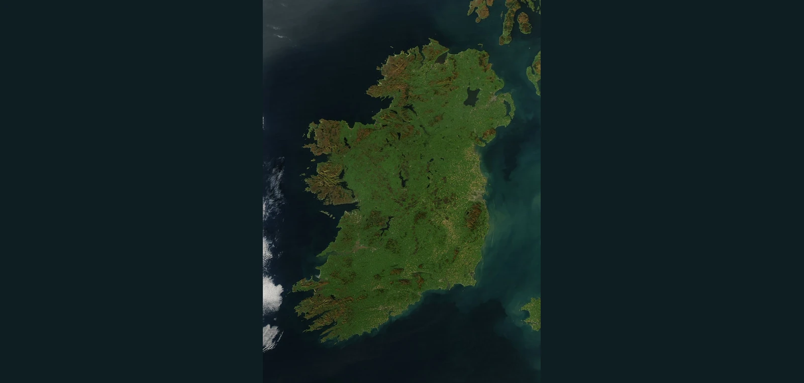
The satellite image above shows the island’s physical shape. It is an archive observation from 11 October 2010, not a map of political borders, county lines or current population. A landscape view can help you recognise the coastline; it cannot tell you which government, council or statistical area a particular address belongs to.
When checking a fact about Ireland, ask three questions: which area is being described, what date does the information refer to, and what exactly is being counted? Those checks make a short answer useful beyond a quiz.
Image: Ireland observed by Aqua’s MODIS instrument on 11 October 2010, NASA image courtesy Jeff Schmaltz, MODIS Rapid Response Team, Goddard Space Flight Center. Resized and placed on a dark background under NASA’s editorial media-use guidelines.


Join the conversation
Keep it kind, relevant and constructive. Comments are reviewed before they appear.
Be the first to share a thought.