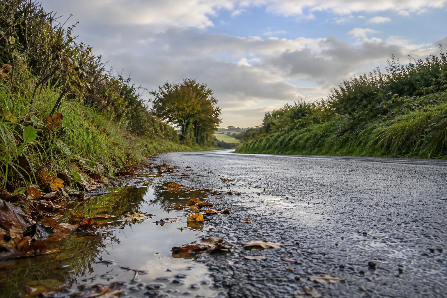
Rain across much of Munster, Leinster and eastern Ulster is forecast to give way gradually to brighter conditions today, Thursday 15 October. Met Éireann’s national forecast, issued at 5am, says the clearance will spread southeast from the west and northwest, although showers will follow, particularly in the north and west. [1]
The practical message is a changing day rather than uninterrupted sunshine. Someone leaving home in rain may see an improvement later, while a dry western morning does not rule out an afternoon shower. Check the local forecast for the time you will actually be outside.
Today and Friday
Thursday’s forecast highs are 12–16C. Tonight is expected to be cooler than recent nights, with lows of 3–8C and showers mainly in western and northern counties. Friday brings sunshine and showers, with highs of 11–14C. [1]
For school runs, commuting or errands, keep a waterproof layer available even if conditions look better from the window. If you can move a short outdoor task within the day, use a current local forecast to choose the slot; the national summary cannot promise a dry hour at a particular address.
Weekend: dry does not mean warm
The morning outlook points to a mainly dry weekend under high pressure. Saturday’s highs are forecast around 11–14C and Sunday’s around 11–13C. Overnight temperatures are expected around 1–5C, potentially lower locally, with patches of mist or fog and a touch of frost possible. [1]
That combination can matter when an outing begins early or ends late. Plan around the colder part of the journey as well as the afternoon temperature. For an outdoor event, check its own operating updates; a national forecast is not confirmation that a particular venue or route is open.
Read warnings by place and activity
The warnings page checked this morning showed no land-weather warning in operation, while also listing separate marine warnings. [2] Those statements are compatible. Marine alerts concern specified waters and have their own valid periods; the green land-weather indicator is not a boating or coastal-activity safety clearance.
Met Éireann explains that weather impacts depend on exposure, location and the activity involved, and distinguishes its land, small-craft and gale warning services. [3] Before travelling to the coast or going on the water, use the current relevant forecast and official advice rather than a general weather headline.
Keep the date on the forecast
This article summarises the 5am national forecast for 15 October, checked against the morning warnings page. Forecasts and alerts can change. Reopen Met Éireann’s current forecast and warnings before setting out, especially if plans depend on wind, visibility or a particular stretch of coast. The weekend outlook is a forecast, not a guarantee for every location.

Join the conversation
Keep it kind, relevant and constructive. Comments are reviewed before they appear.
Be the first to share a thought.